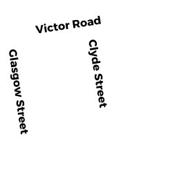
0 BOSTON ST
Owner Information
OROURKE THOMAS E & FLAVIA A
229 CEDAR RIDGE DR
GLASTONBURY, CT 06033


Property Details
0 BOSTON ST is classified as a Potentially Developable Residential Land (Vacant land).
0 BOSTON ST is valued at $30,600. The land is valued at $30,600 and the structures are valued at $0.
The most recent deed for 0 BOSTON ST is recorded at the local registrar in Book 6523, Page 0317. 0 BOSTON ST was last sold on Friday, October 27, 1995 for $0.
Assessment data from fiscal year 2021.
Flood Data
According to the FEMA National Flood Hazard Layer, this property does not appear to be in a flood zone. It may also be in an area not yet reviewed. Nonetheless, confirm this information prior to taking any action.
To view the flood hazards around this property, create a FEMA "Firmette" Map of the area around 0 BOSTON ST.
Broadband Internet Providers
| Provider | Type | Bandwidth (mbps) | |
|---|---|---|---|
| VSAT Systems, LLC. | Satellite | 2 | 1 |
| GCI Communication Corp. | Satellite | 0 | 0 |
| Viasat Inc | Satellite | 100 | 3 |
| T-Mobile | Fixed Wireless | 25 | 3 |
| Comcast | Cable | 1000 | 35 |
| Verizon New England Inc. | DSL | 15 | 1 |
| HughesNet | Satellite | 25 | 3 |
Broadband service provider data from December 2020.
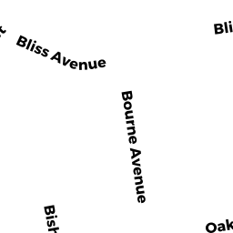
Adjacent Properties
- 1 BURNSIDE AVE
Accessory Land with Improvement owned by OROURKE THOMAS E & FLAVIA A - 0 BURNSIDE AVE
Potentially Developable Residential Land owned by THE SOUTH MAIN ST REALTY TRUST OF 2013 - 0 BURNSIDE AVE
Potentially Developable Residential Land owned by THE SOUTH MAIN ST REALTY TRUST OF 2013 - 0 SO MAIN ST
TRAN AUTH MDL-00 owned by M B T A